Make informed decisions with Vantage’s Data Collection services
Knowledge is power - so it makes sense that the more you know about your land, especially from beneath the surface, will ensure you are making better decisions about your property based on current findings. Vantage specialises in a range of Data Collection services through Soil Information Systems, Topographical Data, Field Mapping, UAVs (Unmanned Aerial Vehicles) and more. Arrange an appointment with your local Vantage representative today to unlock information about your land.
Here are our available Data Collection services:
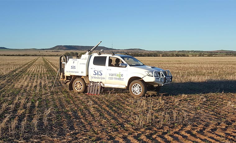
SIS provides growers with the tools they need to understand their soils to optimise growing conditions and improve overall crop output and quality.
The best way to plan crop production is to first assess if you have the optimal growing conditions.
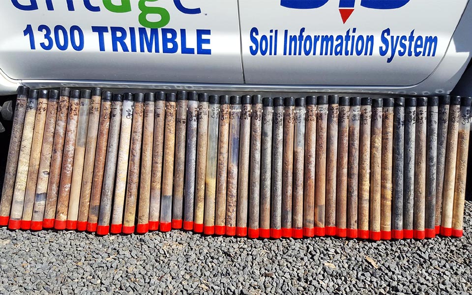
Our Soil Information System or (SIS) uncovers the variability within each field and treats different zones according to their unique needs, thereby raising outputs and quality to the highest grade achievable throughout the field.
The SIS system creates a 3D soil database of paddock soils to identify over 60 physical and chemical characteristics, including salt concentration levels, clay percentage, nutrient holding capacity, compassion levels and more. From there diagnostic reports can be extracted to enable more precise farming.
Learn more about how SIS works through our blog post.
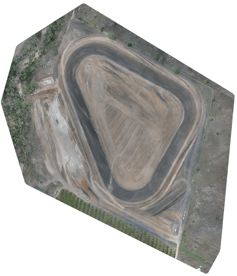
Understanding your farm’s Topographical Data offers a wealth of knowledge when landform design, field design, and field work are carried out. This information directly impacts many farm operations, including field layout, AB line optimisation, the positioning of recycle pits, drainage, roads and laneways just to name a few.
By analysing a property’s Topographical Data time and money can be saved while making sure decisions are made with pinpoint accuracy. We offer vehicle-mounted systems, UAV or handheld solutions based on the specific site requirements.
Even in poor weather conditions, these state-of-the-art UAVs can be operated by specialist teams to gather data on elevation, topographical data, crop heath and more through GPS, sensors and cameras.
Interested in Data Collection? Give us a call to discuss the details.